

Overview
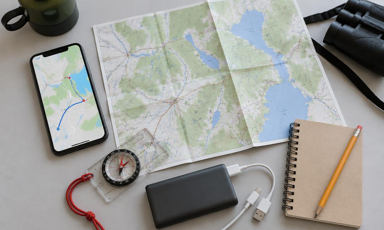
At the bare minimum, download your own region on your phone and keep a paper map in the car.
Offline navigation needs more than a screenshot of a route. You need downloaded map data covering home, destination, alternate routes and every region between them. Organic Maps offers offline search, route planning and navigation; OsmAnd adds extensive map layers and travel-profile options.
Organic Maps is a straightforward option for a simple phone-based kit. OsmAnd is worth considering if you need more control over profiles and map resources. Edition, platform and optional-download differences matter, so check the installed app rather than relying on an old price or download-limit claim.
GPS positioning normally doesn't need mobile data, but getting a fix can take longer without network assistance and may fail indoors. Downloaded maps don't provide live road closures, flood status, fire conditions or confirmation that a shelter is open. Keep paper maps, written addresses and official updates as separate inputs.
What you'll need
- A supported phone with Organic Maps or OsmAnd from official links
- Wi-Fi for downloading all needed regions
- Location permission and enough storage
- Written destinations, meeting points and alternate routes
- A charged power bank, working cable and paper map
Instructions
Choose and install an app
Use Organic Maps for its offline search and navigation workflow, or OsmAnd if you want more detailed configuration. Install from a distribution linked by the official site and open it before an emergency.
Download the whole journey
In the map-download interface, download home, destination and all intervening regions. Add areas around plausible detours. Check completion and storage; seeing part of a map cached on screen isn't proof of a full regional download.
Save useful destinations
Save household meeting places and the exact addresses of people you may stay with. Add known fuel, hospitals or emergency facilities as reference points, not promises of service. Keep the same important addresses on paper.
Check profiles and voice files
Choose the correct travel mode and inspect route settings. In OsmAnd, download needed voice resources and any optional map packages you expect to use. Don't assume all extra layers or voices are already stored locally.
Plan an alternative
Calculate the main route and a plausible alternative while online, then inspect where they cross regional boundaries. Avoid making a plan that depends on one bridge or on a trail you have not assessed. Offline routing can't confirm present access or safety.
Remove the internet dependency
Disable mobile data and Wi-Fi, or use airplane mode with location services enabled as supported by the phone. Search a place within a downloaded region and calculate a fresh route. If it requests a download, you have found a coverage gap.
Test positioning outdoors
Allow precise location access, go to a safe open area and wait for a fix. Check the displayed position and direction. Verify voice guidance during a safe walk or as a passenger; don't handle or configure the phone while driving.
Pack the independent backup
Keep a paper map and written addresses in the vehicle or go-bag, with a charged power bank and compatible cable. Test charging. Teach another household member to open the map and find the destination.
Update and retest
Review downloaded regions before trips and periodically at home. Record the app and map dates, then repeat the disconnected route test after updates. Live conditions still require official information when available.
Check it works offline
- Place search and a newly calculated route work with all internet connections off.
- Both the main route and detour stay inside downloaded coverage.
- Location and any required voice guidance have been checked separately.
- A paper route, addresses, charger and cable are packed.
Things to watch for
A downloaded point of interest doesn't establish potable water, an open shelter or a passable road.
Don't assume an offline route is safe in a flood, wildfire or evacuation. Follow official directions.
OsmAnd resource availability and allowances vary by platform and edition; this guide makes no price or quota promise.
Useful equipment
USB power bank
Backup phone power for downloaded maps. Match the cable and charging requirements to your phone.
See on Amazon.caRegional paper road atlas
Choose current coverage for your home, destination and detours. It remains useful when a phone or network fails.
See on Amazon.caUSB charging cable
Match the phone and power bank connectors and test the cable before packing it.
See on Amazon.caAmazon.ca search links; no hands-on endorsement or guaranteed compatibility. As an Amazon Associate I earn from qualifying purchases.
Sources and further reading
Related how-tos
Save and protect important offline documents
Build a readable reference folder, separate private records, and verify an encrypted backup you can unlock without the internet.
Read the how-toDownload Wikipedia and references with Kiwix
Choose useful ZIM archives, download them completely and keep an offline reference library that needs no AI model to read.
Read the how-toRun an offline knowledge and maps drill
Restart devices, cut internet access and test fresh work — not just a cached page or an old chat — before depending on the kit.
Read the how-to